
THE LATEST
-
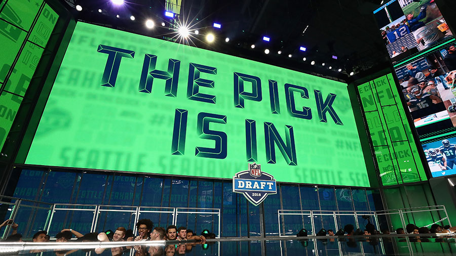
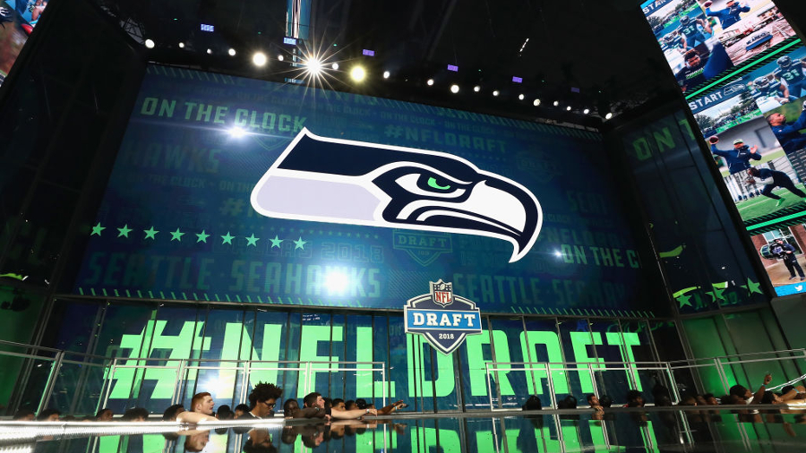
Seahawks NFL Draft Tracker: Keep up on every pick and trade
-
Haniger hits grand slam, Seattle Mariners beat D-backs 6-1
-
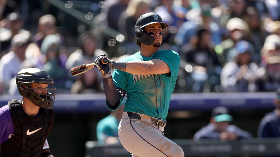
Watch: Breakout Mariners player gets revenge against his old team
-
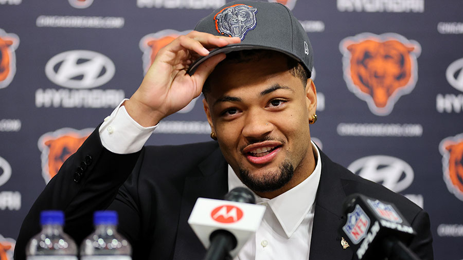
Seahawks draft UConn guard Christian Haynes in third round
-
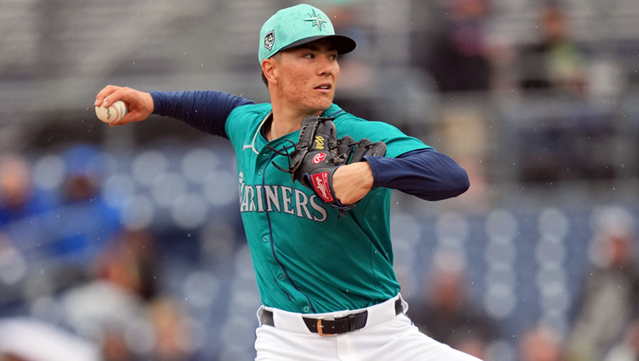
Mariners Injury Updates: When could Seattle get Woo, Brash back?
-
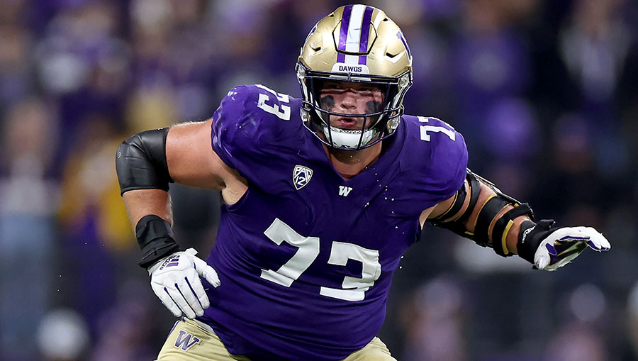
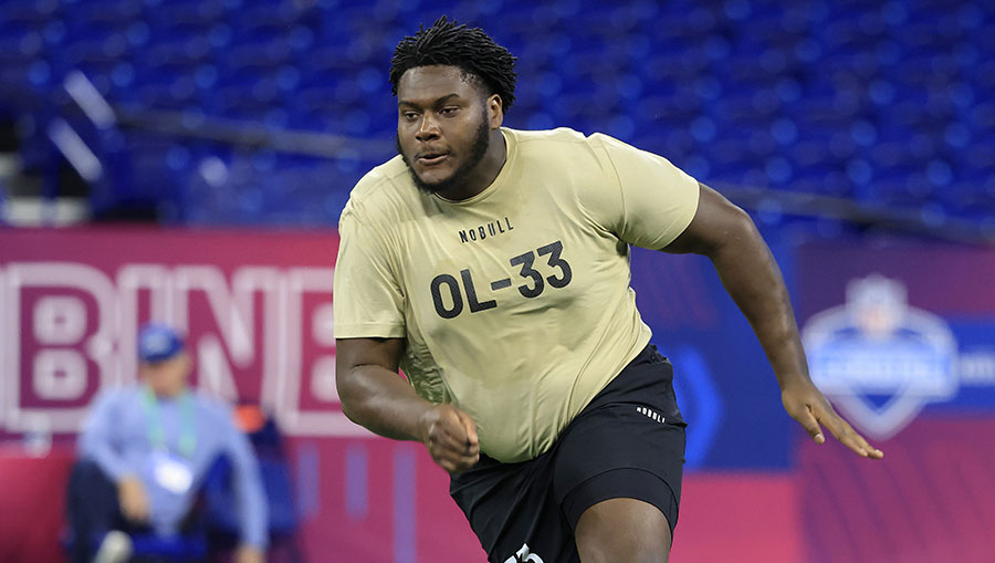
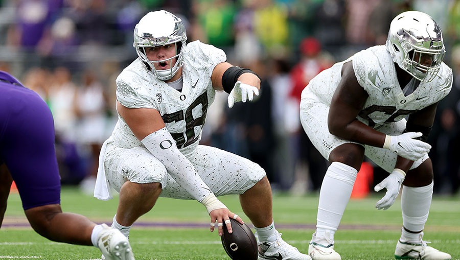
OL Roger Rosengarten is 5th from UW Huskies drafted at No. 62
Live from the Alaska Airlines studio for the 2024 NFL Draft
-
Seattle Seahawks
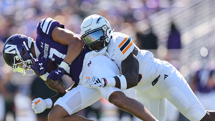
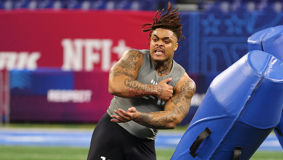
Seattle drafts UTEP LB Tyrice Knight in fourth round
-
Seattle Seahawks
Seahawks trade with Broncos -- again -- to gain pick
-
Seattle Seahawks
Draft Reaction: Seahawks 'taking care' of trenches

Seattle Seahawks
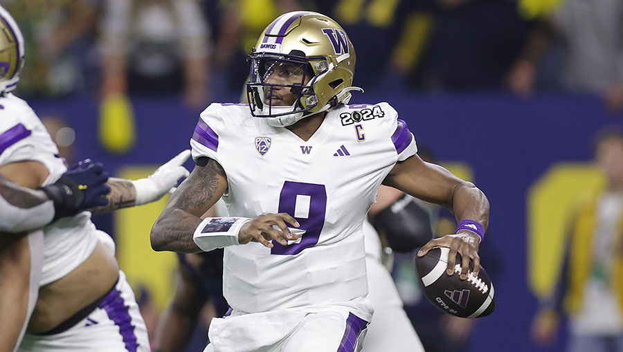
Kirk Cousins called UW Huskies QB Michael Penix Jr. after surprise pick
The Atlanta Falcons were the talk of the first round after shockingly picking UW Huskies standout QB Michael Penix Jr. at No. 8 overall.
Ja'Lynn Polk is fourth UW Huskies draft pick, to Patriots at No. 37
The Patriots took WR Ja'Lynn Polk early in the second round of the NFL Draft, giving the UW Huskies their fourth pick in the top 40.
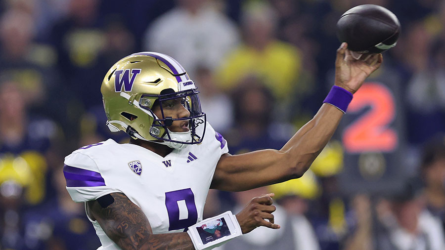
Reaction: Why did Seahawks reportedly try to trade up for Penix?
The Seattle Seahawks were among three teams who reportedly tried to trade up for QB Michael Penix Jr. Brock and Salk share the reactions.
WA NFL Draft Tracker: UW Huskies, WSU and local picks
In this tracker, we'll keep you updated on UW Huskies, WSU Cougars and others players with local ties taken in the 2024 NFL Draft.
What should Seattle Seahawks do on second day of NFL Draft?
Bump and Stacy analyze what the Seattle Seahawks should on Day 2 of the NFL Draft, including whether or not the team should trade up.
Seattle Seahawks did what they needed in draft -- just with a twist
Seattle Sports' Stacy Rost takes a look at what the Seattle Seahawks did in the NFL Draft, plus two other interesting moves.
Podcasts:
Listen to Seattle Sports shows on your time. Hear exclusive interviews from the Seahawks and Mariners.


Seattle Mariners
Mariners hang on to beat Rangers 4-3, win third straight series
Ty France and Luis Urías homered as the Seattle Mariners beat the Rangers 4-3 to move into first place atop the AL West.
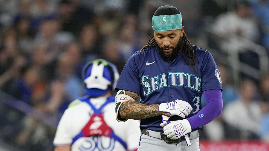
Seattle Mariners shortstop J.P. Crawford lands on 10-day IL
J.P. Crawford has been placed on the 10-day injured list with an oblique strain ahead of the Seattle Mariners' series finale in Texas on Thursday.
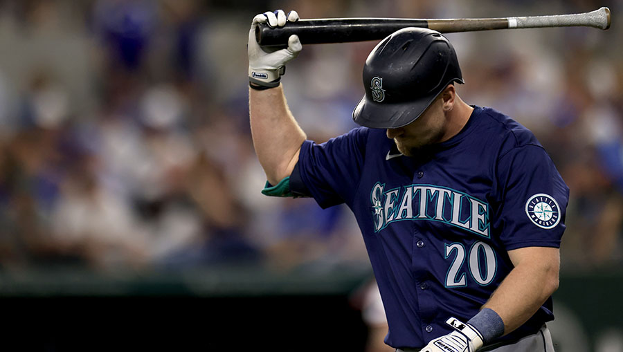
Garcia, Carter power Texas Rangers past Seattle Mariners 5-1
The Seattle Mariners leave nine runners on base and relinquish first place in the AL West in a 5-1 loss to the Texas Rangers.
Mariners' Raleigh, Crawford out of lineup -- here's why
Seattle Mariners catcher Cal Raleigh is out of Wednesday's lineup after having oral surgery to fix a broken tooth.
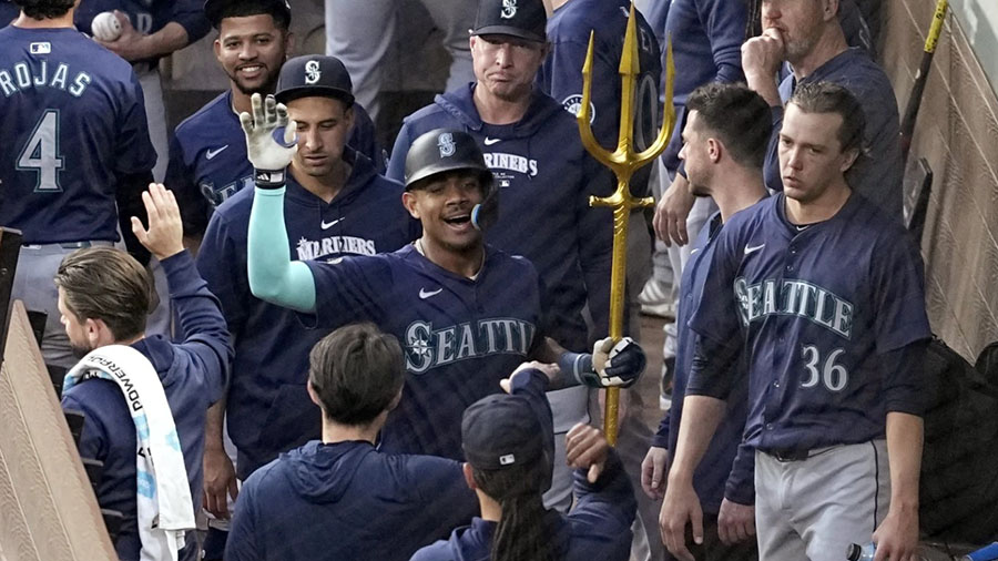
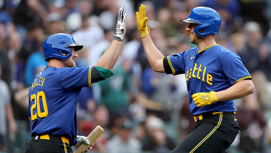
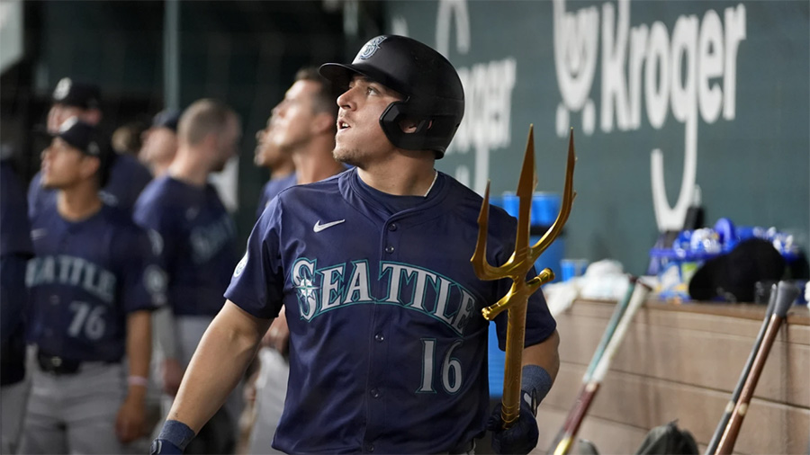
Julio Rodríguez reunites with an old friend: Mariners' HR trident
Julio Rodríguez tightly hugged the trident that the Seattle Mariners use to celebrate home runs. It was a happy reunion, the first time the young slugger got to hold it after going deep this season.
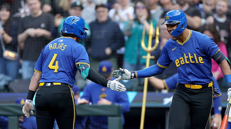
Key figure for first-place Mariners has been 3B Josh Rojas
The Seattle Mariners' leader in batting average and on-base percentage is surprisingly Josh Rojas, who is also playing strong defense at third base.
UW Huskies
Kirk Cousins called UW Huskies QB Michael Penix Jr. after surprise pick
The Atlanta Falcons were the talk of the first round after shockingly picking UW Huskies standout QB Michael Penix Jr. at No. 8 overall.
Ja'Lynn Polk is fourth UW Huskies draft pick, to Patriots at No. 37
The Patriots took WR Ja'Lynn Polk early in the second round of the NFL Draft, giving the UW Huskies their fourth pick in the top 40.
WA NFL Draft Tracker: UW Huskies, WSU and local picks
In this tracker, we'll keep you updated on UW Huskies, WSU Cougars and others players with local ties taken in the 2024 NFL Draft.